
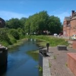
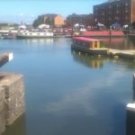
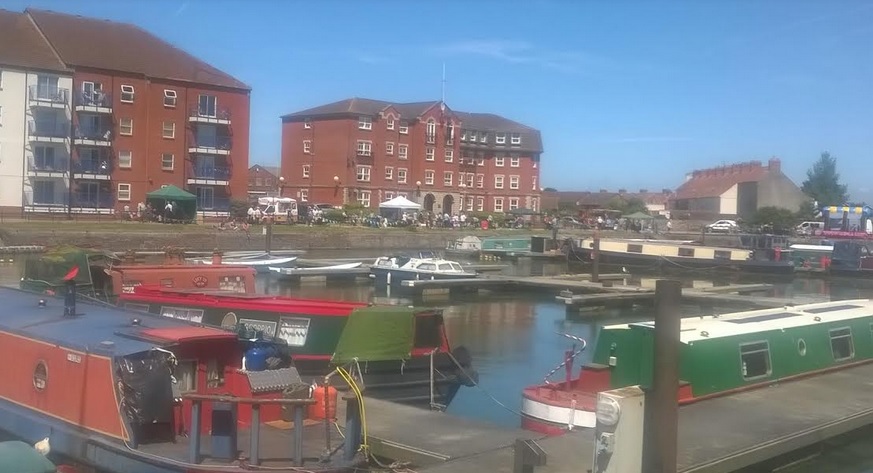
This weekend the sun shone and the crowds turned out to support the third annual Bridgwater Docks Gala, making use of the wonderful public space that connects the River Parrett to the Bridgwater and Taunton Canal.
Stalls surrounded the 19th century dockside, food and drink flowed, music played and dancers danced while community groups as varied as the Civic Society, the Sea Cadets, Bridgwater Flower Show and Burnham on Sea Pilot gigs, vied for attention. Carnival clubs raised funds with sideshows, fairground rides surrounded Bowerings seed mill and boats offered rides around the dock. In the last couple of years some active campaigners have been building up the possibility of Bridgwater re-establishing it’s water-based heritage and this has been enthusiastically backed by the Town Council with a view to opening up the docks and therefore the canal and in the process penning water in order to get the river once more navigable, and the thriving Docks Gala is testament to that impetus.

So it is important to note that on the 10th July Sedgemoor District Council and the Environment Agency will deliver their proposals for the Bridgwater Tidal Barrier with a public consultation in the form of a drop-in session from 2pm to 7pm at Bridgwater Town Hall, High Street, Bridgwater, TA6 3AS to the public.
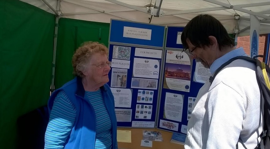
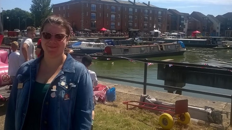
Event Organiser Patsy Robinson (left) is one of many people with renewed faith in Bridgwater’s future facing onto it’s waterways as it did in years gone by. Also coming soon (July 29th) is the QUAYSIDE FESTIVAL which will be yet another major cultural event around the town but linking into the waterfronts.. For more information click here.
Town Council Urges ‘Futureproofing’

Town Council Leader Cllr Brian Smedley says “This Barrier will at the very minimum be a flood prevention structure and that’s virtually all that David Cameron promised when he visited us during the floods. However, it’s also a great opportunity to think beyond that limited goal and do some things that could regenerate the town-like opening up the waterways for tourism, or at the very least not do things that would prevent this happening at all. What we want is a Tidal Barrier that allows water penning, possibly provides a sea lock to allow craft through and both these combined leading to the re-opening of the barge lock into the dock and therefore bringing back into use the Bridgwater-Taunton canal and at the same time encouraging craft to use the river, come up to West Quay and head on up towards Langport. The least we want from the consultation is some form of ‘Futureproofing’ so that if this doesn’t happen now then it can still happen in the future.”
IWA see a ‘Unique Opportunity’
A spokesman for the Inland Waterways Association commented that “…it is absolutely vital that the prospects for developing the recreation, leisure and tourism aspects of Bridgwater’s waterways (which comprise the River Parrett. the historic Bridgwater Docks and the Bridgwater & Taunton Canal) are enhanced and not impaired through the Tidal Barrier Scheme. The community and the authorities need to work together to use the unique opportunity that the Tidal Barrier provides to achieve this benefit. Future generations will not forgive Sedgemoor District Council and the Environment Agency if the current proposals do not enable enhanced navigation and the resulting benefits that this can bring for the community”.

The IWA outlined their campaign position as follows;-
- That the tidal barrier, when constructed, is in principle capable of penning water at a fixed level of 4.45m AOD (Above Ordnance Datum) to enable navigation to Burrowbridge;
- The inclusion of a Visitor Centre and other community facilities both at the tidal barrier and upstream of the barrier (for example Cycle Paths linking Bridgwater Town Centre with the tidal barrier);
- Restoring the Barge Lock and the Bascule Bridge at Bridgwater Docks thus enabling the reconnection of the River Parrett with Bridgwater Docks and the Bridgwater & Taunton Canal; and
- Installing navigation infrastructure upstream of the tidal barrier to Burrowbridge and beyond, thus facilitating increased navigation on these river stretches.
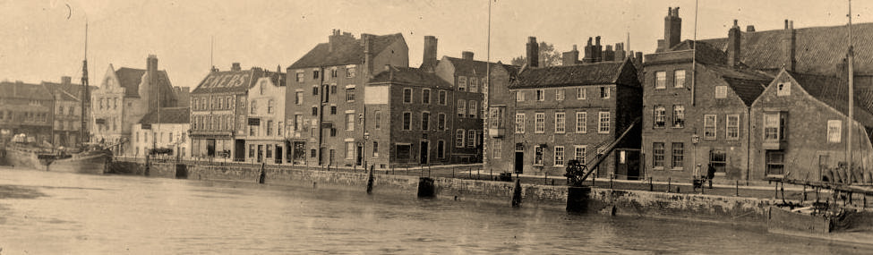
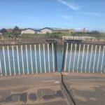
The Bridgwater and Taunton Canal as it joins the docks

Bowerings ‘showtime’ seed mill

Bridgwater and District Civic Society

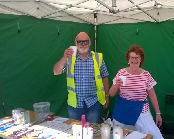
Nick and Rosie raise a glass and a raffle

Bridgwater Flower Show

Kate from Purplespoon stirs her mighty Paella

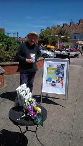
John promotes the Quayside festival scheduled for 29th July

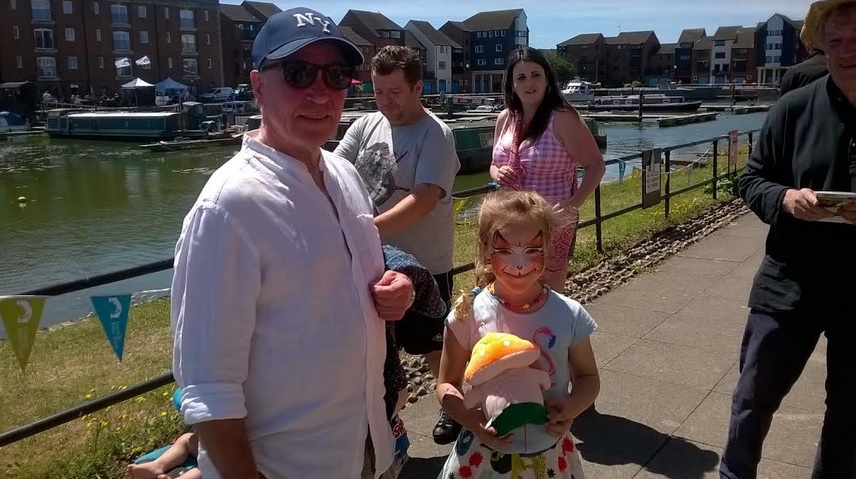
Cllr Tony Heywood gets a tiger for a daughter
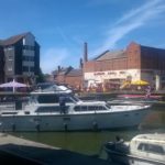
Bowerings is a key part of the dockland skyline

Burnham on Sea Pilot gigs
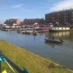
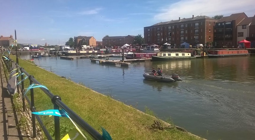
Trips around the dock on a small inflatable

Mayor Graham Granter has a rest in the shade by the Admirals Landing pub

The dock is also home to many boat dwellers
entering the dock from the canal

folk dancers

Cllr Diogo Rodrigues is currently the Deputy Mayor of Bridgwater

Cllr Chelsea Chadwick checks out the Gala
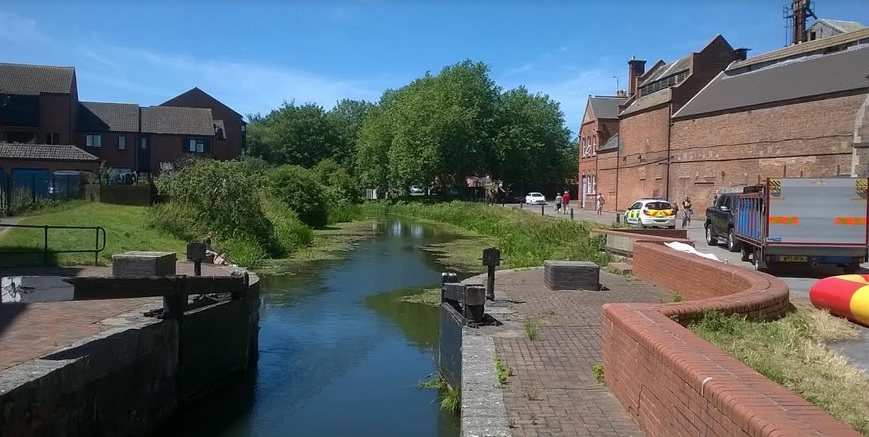
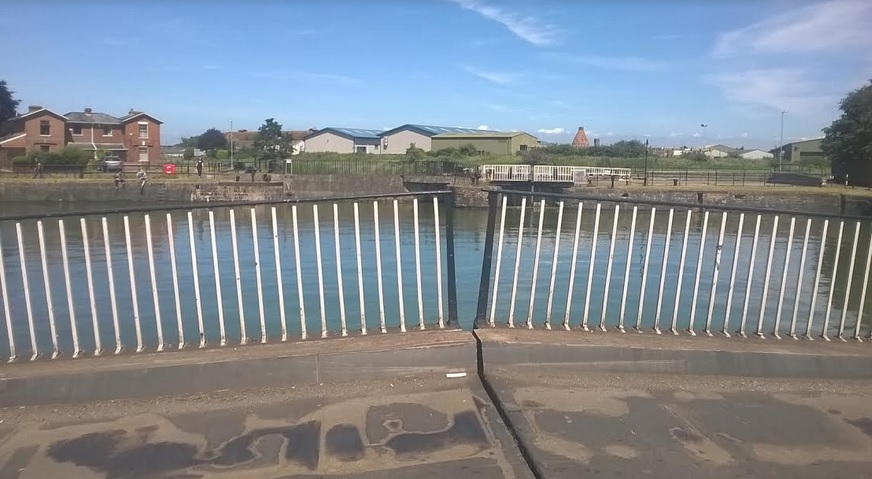
The Bascule bridge looking towards the Barge lock and the river..could this one day be re-opened?


Wider Considerations
But there are others that have a different slant.We asked Bridgwater Engineer Steve Trowbridge to give his perspective on the plans;-

Steve said “The Bridgwater Tidal Barrier consists of two elements
1. A tidal barrier located not as is normal near the mouth of a river
but within the developed extents of the Bridgwater. There is no
consideration of what Bridgwater and the surrounding area might look
like in 100 years.
2. Downstream flood defences will in the long term (after 40 years) only
consist of local lengths of raised banks around Combwich and Chilton
Trinity. Ultimately the River Parrett will be allowed to spill over
river banks which will be maintained at current levels. Sea levels will
continue to rise but the banks won’t.
The reason for this solution is that it is being done in accordance with the National Flood and Coastal Erosion Risk Management Strategy for England (FCERM). In Somerset the plan is to return to the Parrett Estuary to an intertidal habitat stretching from Steart Peninsula to Dunball.
To quote the EA’s plan and within the life of the barrier:“The long term vision is for a more naturally functioning estuary, through construction of set-back defences under a policy of managed realignment.”
Managed realignment means the sea is being let in.

Recently released details of the secondary flood defences show where this will occur and flood maps where it is expected to flood. This EA’s plan set out in 2010 in the Shoreline Management Plan and adopted by the Parrett Estuary Flood Management Strategy will ultimately see 1000’s of
acres of farm land and a large area of strategic development land (close to the M5) given over to wild life preservation. The only beneficiaries of these current policies are organisations such as the RSPB and the Wetlands and Wildlife Trust who already have a presence at Steart. The Barrier will be located at what will become the end of the inter tidal estuary stretching from Steart Peninsula to Dunball (M5 Jct 23)

The impact of the EA’s Estuary plan will be to stifle economic development across Somerset. West Somerset needs access via a northern bypass to the M5 at Junction 23 that will be blocked.Taunton Deane and South Somerset may in future have to build fluvial storage because the flow in the Parrett is not being maximised at this opportunity.Somerset farmers and landowners will see £M’s written off in land values.The Parrett Estuary represents a a future strategic area for industrial expansion benefiting all Districts and will be lost.

None of these implications have considered in information provided to the public by SDC and the EA.
Since 2014 large amounts of money has been provided for Somerset flood plan and the performance of the SRA and other organisations has been nothing short of abysmal. This scheme has been to two public consultations in 2016 yet the true implications of this scheme are just now being released four months after the decision on location was made.
Councillors at District and County level especially those on flood related committees should be looking very hard at the level of oversight and technical competence they have brought to the table.
The question we should be asking is not what the barrier and the areas downstream will look like today but what will our children inherit in 100 years’ time?”
Useful Links
Shoreline Management Plan
http://www.ndascag.org/finalsmp/docs/SMP/Policy_Statements/18.pdf
BTB Residual Flood Maps http://www.sedgemoor.gov.uk/sfra
Pawlett Hams and Chilton Trinity http://wp.me/p8vLxt-70
Bridgwater Tidal Barrier Drop in Session 10th July 2017
http://wp.me/p8vLxt-8z
Parrett Estuary Flood Risk Management Strategy
http://www.sedgemoor.gov.uk/bridgwaterbarrier