
On Wednesday this week the Environment Agency held it’s public consultation meeting on the future of a Tidal Barrier for the River Parrett at the Bridgwater Arts Centre and urged people to choose from 5 site options and 2 barrier models (Thames or Hull). Town Council leader Brian Smedley and Deputy Leader Kathy Pearce (both Westover) attended and wasted no time in recommending to Full Council on Thursday 15 Sept that Site 4 and Thames model should be the options that would allow the Town Councils stated aims of future proofing for navigation, development and water penning.
Bridgwater Town Council approved the Site 4 and Thames Barrier models at it’s meeting, These options had also been urged by the Inland Waterways Association. There will now be an extended period of consultation where the public and key partners are asked to state their preferences before a final decision is made in the autumn. The Environment Agency had in fact whittled down the 5 sites to 2 priority ones 4 and 5.
Site 4 offers development opportunities

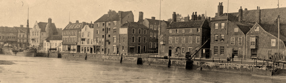
Town Council Leader Brian Smedley said “Site 4 is the area of land to the left of Bristol road as you pass Express Park and before you reach the Dunball Wharf, it therefore permits continued access to that port but crucially it has excess land either side of it for future development whilst site 5 is the cheapest option and simply ticks the minimum of boxes to deliver the minimum of barrier. It is located within the narrow bend of the river exactly at Express Park where there is less storage space in the river channel. What we want is a barrier that doesn’t just come the cheapest and is over and done with and immediately forgotten, we want something that is a key piece of infrastructure whose purpose is to enhance and develop the town and fosters future plans for navigation, tourism and economic development. Along with this we need the Thames Model Barrier, which rises from the river bed and therefore maintains penned water levels thus allowing fixed waterlevels in the river. With this we can control the height under fixed span bridges and achieve our aim of opening up the river to seaborne and coastal craft again and eventually the docks and the canal thus boosting the area. “
The Thames Model allows water penning and therefore navigation

Deputy Leader Cllr Kathy Pearce said “We are recomending the THAMES model as the Hull model is a monstrosity which would tower above the landscape and wouldn’t deliver the future proofing we need to get those penning levels to achieve the navigability we want. Site 4 is a more expensive model but we shouldn’t be expected to accept the cheapest option. It will achieve it’s aim of minimalising flood risk to North Bridgwater, protecting existing development and maximising opportunities for future growth. There is a larger space to store river flows upstream when the barrier is closed and there is no space constraint to construction plus good access from the A38.”
Whilst all 5 sites remain on the table and some members of the public were urging sites that could permit a river crossing as part of the development, the response was generally that 4 or 5 were being given priority and that a road over any location would be too costly as would sites 1,2,3 which were further downstream and would also hamper trade at Dunball wharf.

The 2 Barrier options were described as THAMES-ie a rising sector gate which would be curved and sitting in the base of the structure and can rotate upwards into position,thus facilitating water penning options and therefore consistent navigation, or HULL – which is a vertical lift gate which raises and lowers the barrier above the water between two high towers which contain the lifting equipment.
The purpose of the Tidal Barrier is to protect the low lying areas of the town from tidal incursion as opposed to river incursion as it is feared town centre defences are no longer adequate but at the same time providing opportunities for development.
The barrier location will be selected in late 2016 with further consultation on the preferred option in spring 2017. Construction will start in 2022 (if our heads are still above water….)